Drive a piece of Route 66 from Kingman toward Oatman
Make one Route 66 stretch a complete outing, connecting Kingman’s road history with the Black Mountains drive toward Oatman.

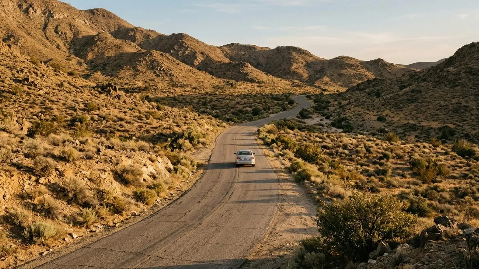
You can experience Route 66 without first arranging a drive across the United States. Choose a stretch with enough character to reward your attention, understand a little of its history and make the journey at a pace that leaves time to stop.
Kingman toward Oatman offers a specific version of that idea: road history in town, then a route into the Black Mountains where the driving itself becomes part of what you came for.
Begin with the road before the road trip
Kingman’s Powerhouse Visitor Center houses the Arizona Route 66 Museum, giving the journey a place to acquire some context. Our museum guide treats that visit in its own right; you can pair it with a drive rather than asking it to stand in for the whole route.
The Bureau of Land Management’s account connects the corridor with communities and changing transport history, not just a collection of nostalgic signs. Choose a question to carry out of town: what made a place a useful stop, and what changed when traffic found another way? BLM corridor account.
Know that this stretch includes mountain driving
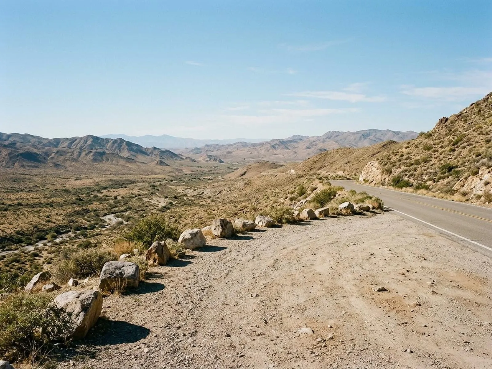
West of Kingman, BLM describes the historic back-country byway climbing through the Black Mountains, with steep grades, switchbacks and the hairpin bends of Sitgreaves Pass. That makes it a different proposition from an uninterrupted flat highway.
Read the current byway guidance and choose a vehicle and driver comfortable with the route. Check restrictions and conditions for your particular vehicle rather than assuming any rental car, camper or combination belongs on every historic alignment. Byway information.
The aim is a drive you want to make, not a test of whether you can follow the oldest-looking line on the map.
Give the landscape some of the story
The road’s signs and buildings can draw all the attention. Leave some for the land the route crosses: the ascent, the change in views and the relationship between the pass and the settlements on either side.
Use designated stopping opportunities and leave the driving to the person concentrating on it. If you want a photograph, wait for a lawful, safe place rather than making a sudden stop at a bend.
A companion may notice the engineering while you are looking at the landscape. Compare those observations when you have stopped, not by asking the driver to look away from the road.
Treat Oatman as a place, not a prop
BLM identifies Oatman among the historic mining communities on the corridor and notes its free-roaming burros. Enjoy the setting while following local traffic and wildlife instructions.
Do not build the day around an assumed performance time or the expectation that a business will be open because it appears in an old road-trip video. Establish the stops that matter directly before travelling.
The same applies to food and fuel. Plan them as practical needs rather than hoping a suitably nostalgic place will appear exactly when you want it.
Decide the return while the day is still simple
Choose how you intend to get back or where you will stay next. A scenic outward drive does not make its return a free addition to the schedule.
Check current roads and the weather for the whole outing, including conditions later in the day. If the mountain section is not right for the day or your vehicle, keep the Kingman history visit and select another suitable stretch after research.
You can extend Route 66 into a longer project later, perhaps with another region and a different question. This piece of it can still be complete: one town, one distinctive road and a better sense of what the name represents.