Walk a real section of the Pacific Crest Trail near Donner Summit
Consider a real Pacific Crest Trail day hike near Donner Summit, with the route, approach and conditions settled first.

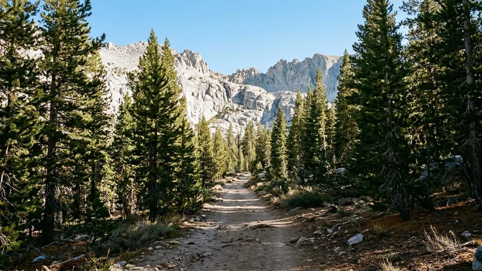
You can put walking the Pacific Crest Trail on your list without first making room for a journey across three states. Spend a day on a real section, follow it into a landscape you want to see, and finish with enough curiosity to consider another.
One concrete possibility near Donner Summit is the Pacific Crest Trail Association’s outing over Castle Pass to Round Valley and Peter Grubb Hut. It offers a defined destination and a sense of joining a much longer journey, while remaining a day-hike proposal rather than a miniature through-hike.
Know which trip you are considering
The PCTA describes a 5.7-mile trip with 934 feet of elevation gain. Its approach leads to the PCT, crosses Castle Pass and descends toward the hut at the edge of Round Valley. Those figures describe that published route, not every walk starting near the interstate. PCTA trip description and map.
Compare the distance, ascent and conditions with walks you already enjoy. A drive from a city does not make the destination a low-effort stroll, and a route described for hiking conditions is not a winter recommendation.
The hut is a landmark for this outing. Do not treat its appearance on the route as a guarantee of overnight space, public services or somewhere to shelter if your own plan goes wrong.
Settle the approach before leaving the car
The PCTA points out a useful complication: the PCT does not connect directly with the place people commonly park north of Interstate 80. Study its current map and approach instructions rather than heading toward whichever visible path seems to lead uphill.
The PCTA places Castle Valley Trailhead on the north side of Interstate 80 at the Castle Peak/Boreal exit, at the end of the paved part of Boreal Ridge Road. It warns that the parking area lacks a turnaround for long vehicles or trailers. Trailhead details.
Check the current trailhead arrangements, access and any relevant parking requirements. Download navigation before leaving reliable reception and carry a way to use it if the phone you normally rely on fails.
For this first experience, keep the objective to the pass and valley route you have prepared. Castle Peak and longer extensions are different choices, not bonuses to add because the day is going well.
Give the valley some of your day
Plan a pause rather than treating the turnaround as a place to take one photograph and leave. Look back at the pass you crossed, notice the shape of the valley, and imagine how the same trail continues far beyond the part you have walked.
If you are with someone, try walking a little of the route without conversation, then compare what caught your attention. The scale of a famous trail becomes more tangible when you have noticed one particular stretch of it.
Protect enough time for the return. An interesting destination does not remove the distance back to the car, and the sensible place to turn around may be before the one you hoped to reach.
Check the conditions that actually govern the outing
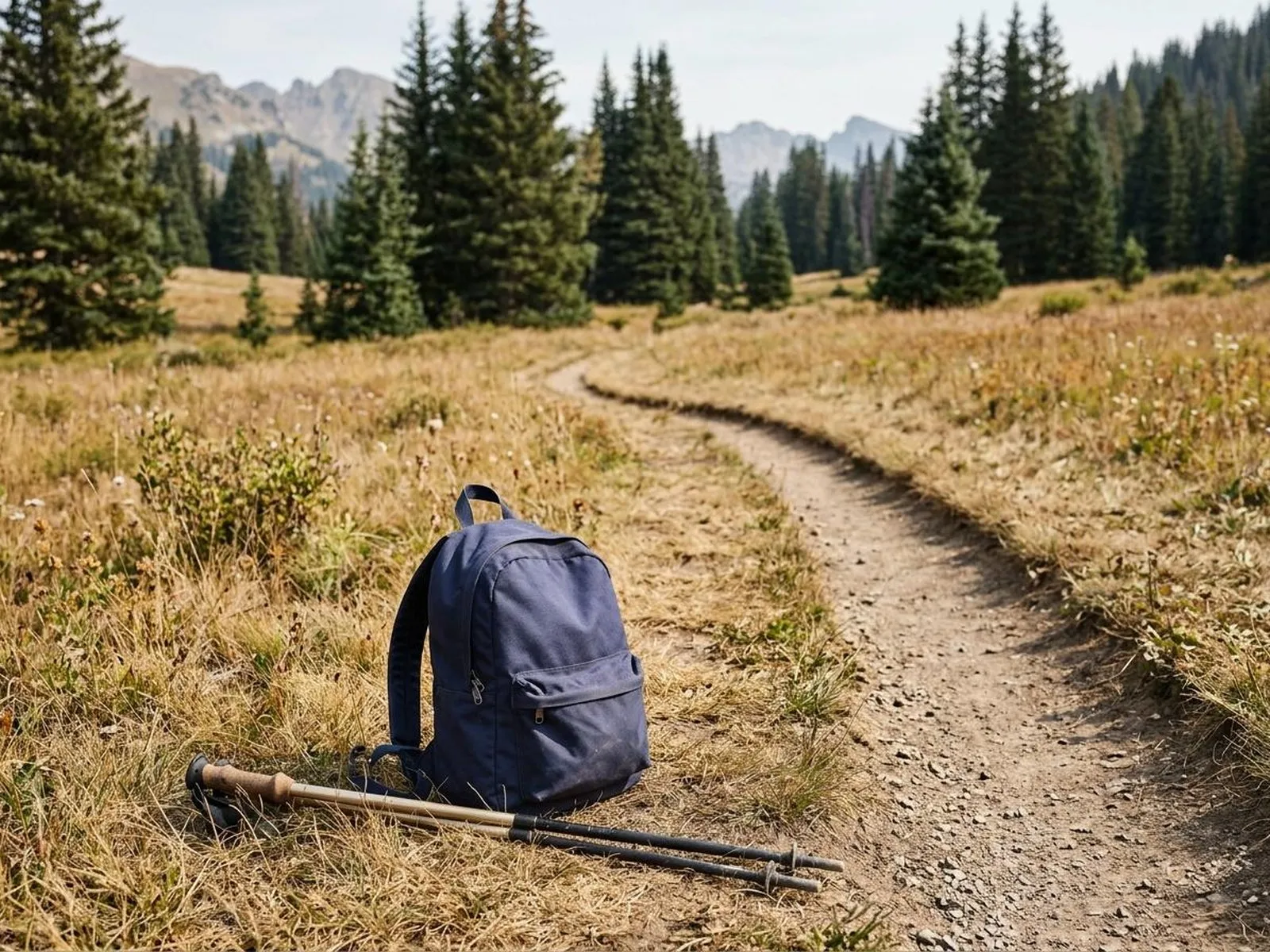
Before departure, consult the Tahoe National Forest conditions page and forest alerts, together with the PCTA closure information and weather forecast. The Forest Service links road and snow information separately; an absence of featured alerts is not a trail-opening or snow-free guarantee. Carry water and what you need for the conditions rather than assuming a mapped stream, another hiker or the hut will supply it.
The PCTA distinguishes local permits from its long-distance permit, which is for trips of at least 500 continuous miles. A short visit is not a reason to apply the through-hiking rules indiscriminately; establish the requirements for the exact area and activity. Permit guidance.
For a simple day outing, bring food that needs no cooking. Tahoe National Forest lists a campfire-permit requirement for campfires, charcoal fires and portable gas stoves outside designated recreation sites; a permit is not an exemption from current restrictions. Forest permit guidance.
This is a snow-free hiking proposal, not a winter route or a live trail-opening report. If snow or closures change the outing, choose another day or another suitable walk.
Let one section be enough
You might finish wanting a second day elsewhere on the PCT. You might decide that this is the right scale of adventure for you, with a comfortable bed afterward and no need to carry a week’s food.
Both are satisfying outcomes. Walking a part of a long trail can be complete in itself; the rest of the line on the map can remain an invitation rather than unfinished business.
Sources
PCTA Castle Pass, Round Valley and Peter Grubb Hut trip
PCT permits and local requirements