Give California’s coast a day: Carmel toward Big Sur
Choose a manageable Highway 1 outing from Carmel toward Big Sur, with one main coastal stop and current road conditions guiding the route.

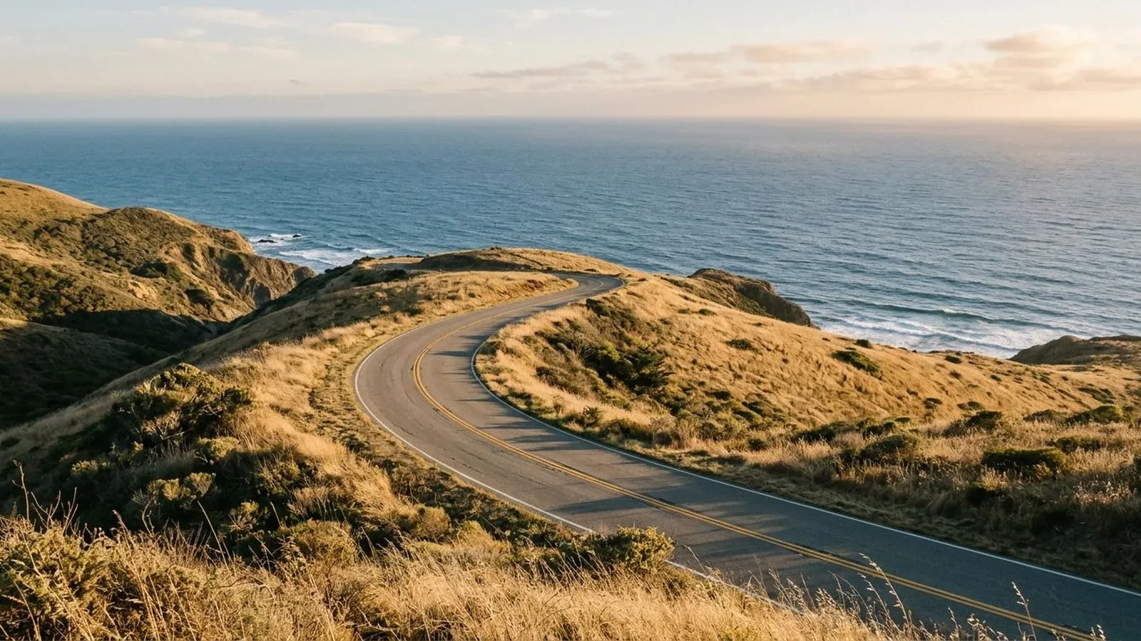
A coastal road trip can become strangely dominated by the road: hours following a scenic line while the places beside it shrink into hurried stops. For a first Highway 1 experience, choose a smaller stretch and give yourself permission to get out of the car for long enough to enjoy it.
Carmel toward Big Sur is one way to frame that day. It is a proposed area to explore under current access conditions, not a promise that every road and park will be open when you go.
Choose the stop before the distance
Decide what would make the day worthwhile: a coastal walk, time looking at the water, a meal with a view or an unhurried drive with a few lawful stops. Then choose the route that serves it.
Point Lobos State Natural Reserve, near Carmel, is a concrete possibility for someone who wants the coast on foot. It has its own entry, vehicle and visitor rules, so it should be a planned activity rather than a stop assumed available because it appears on the map. State Parks information.
If you want more time farther south, give the reserve a separate day or leave it out. Combining two good ideas is not always an improvement.
Let the current road decide what is possible
Check Caltrans’s Highway 1 report and the relevant park notices close to departure. As checked in November 2026, the road report included controlled-traffic works in the Monterey County area. That illustrates the need to allow for conditions; it is not a forecast of your day. Current road information.
A route line in a saved itinerary does not override a closure, traffic control or sign. If a section is unavailable, use an officially advised alternative or shorten the outing rather than improvising on a road that looks like a way through.
Keep an agreed turnaround. The plan can be successful without continuing to a distant town simply because it belongs to the same famous highway.
Use the car to reach some time on the coast
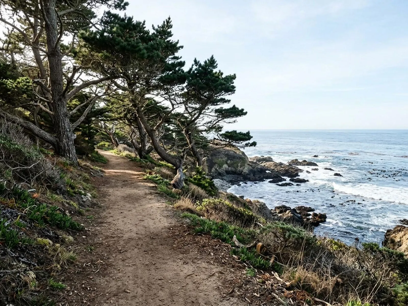
At your chosen stop, let the pace change. Follow the permitted paths, pause somewhere suitable and notice the place beyond the view through a windscreen.
If Point Lobos is the choice, observe its restrictions: it is day-use only, and vehicles over twenty-one feet are not permitted to drive or park inside, apart from specified exceptions. A campervan plan needs to account for that before arrival.
Check the reserve’s current safety guidance as well. Do not treat a photograph of someone near the water as permission to approach rocks, beaches or tidal areas against current instructions.
Make stopping part of the driving plan
Choose legal parking and designated opportunities to leave the vehicle. If a roadside viewpoint has no safe, lawful space available, continue rather than stopping in the traffic lane or making an impulsive manoeuvre.
For two people sharing the drive, allow both a turn to enjoy the scenery as a passenger if practical. A continuous demand to pull over at the next photograph can make the day less enjoyable for the person responsible for the road.
Leave the return with enough daylight, fuel and time for the conditions. A short distance on a map can still take more of the day than expected when you are stopping or passing through traffic controls.
Add an overnight only when it buys something you want
Staying locally can give you a second outing or a slower morning. Compare that benefit with the cost and the access you actually have, rather than treating an overnight as proof of a proper road trip.
You can also return after one good day. Remembering a walk and a stretch of coast clearly is a better result than completing more miles while wishing you had stopped longer.
Sources
Caltrans current Highway 1 conditions
Point Lobos State Natural Reserve official visitor information